Ring – shaped half – day hiking route that starts in Ginučiai.
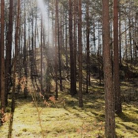
The route mostly goes through the forest.
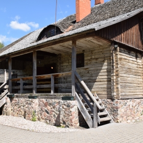
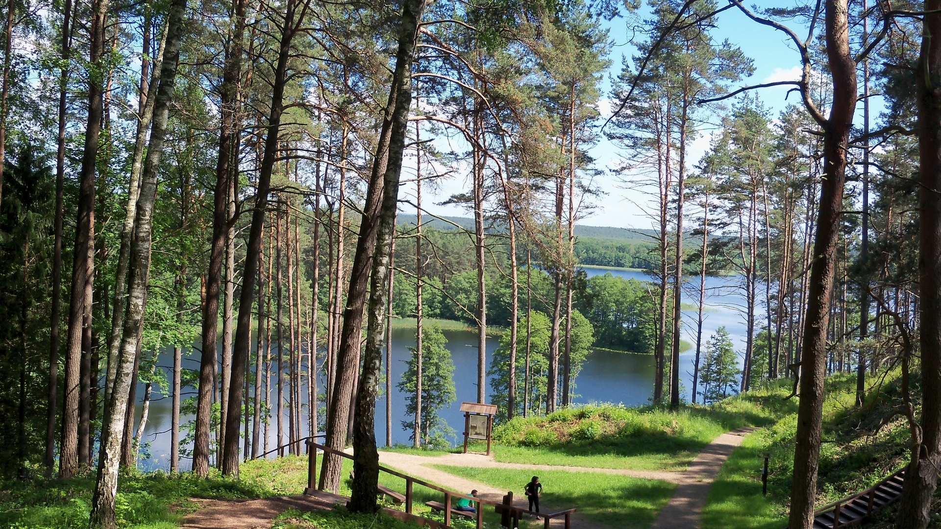
The route starts at Ginučiai Watermill. Turn left at the parking lot, and walk along the main road to south for approximately 450 m. Take the second left from the bus station. Keep right at the road forks. Go along this road for 2.2 km having passed the swampy gulf of Asėkas lake on your right, you willl reach a 4 – way crossroad after 500 m. Keep right. Go along the forest path for about 700 m, and turn right to a sharply diverging byway. Go southwest for approximately 500 m and you will reach again the main road. Keep right. The road makes a loop around Puziniškis Mound. After 100 m you will pass a homestead on your right, and after another 150 m you will approach the bridge and Puziniškis Mound rest place. After crossing the bridge, keep left and go along the lake towards the direction of southeast. After 400 m, the road makes a charp right turn and rises up the hill. After another 400 m, you will reach the village of Salos. After reaching a 3 – way crossroad, keep right and go towards the village of Salos II. You will reach the village after approximately 1km. At the approaches of the village Salos II, after passing a barn on your right, turn right. Go along the path up to the forest and further until you reach a T junction. Turn left. Go along the lake shore of Linkmenas lake until youreach the channel for pedestrians and cyclists. There is a pedestrian – bycycle trail going from the bridge to the top of Ladakalnis. Turn left at the first road fork, and turn right up the hill at the second one. The rise is rather steep. At Ladakalnis starts a gravel road that leads to Ginučiai Mound. It starts on the left of the wooden viewing platform and winds along the forest up to Kimbariškė – Ginučiai road. After crossing the asphalted road, proceed along the path towards Ginučiai Mound. After climbing down the stairs from the Mound, turn left and go along the side of the hill across the parking lot. At the end of the lot, you will see a field walkway. Go along this walkway for about 300 m until you reach another walkway. Turn right and walk for approximately 0,5 km until you reach asphalted road. Turn left, and after 0.5 km you will arrive at Šiliniškės Obserwation Tower. From the tower go back by the paved road towards Ginučiai village. Go throught the village along the main street to the Watermill where you have started your hike.